Hi Everyone:
It looks like we are finally in an area with decent Internet coverage. Barb & I have visited several locations since our last post. We will eventually update all of our locations visited on Da Road Trip Blog, even if it's after we return home.
We are now in South Dakota near The Badlands National Park. We are getting close to the end of Da Road Trip. This is actually our last location we plan to visit other than our route home. We plan to arrive home around the weekend after Labor Day. Barb & I really enjoyed our adventures but are looking forward to getting home & seeing all of our family & friends.
This post is from June 24th 2013. This was our first day in Capitol Reef National Park. Like all of the other National Parks we have visited, this was a really beautiful park.
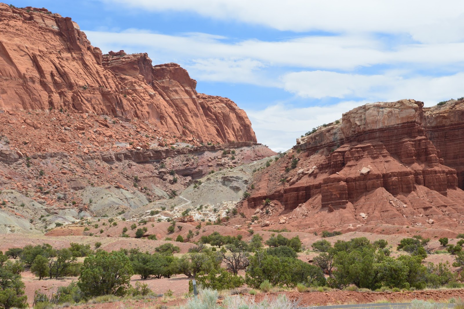
Capitol Reef was named after the various mountain & rock formations in this area.
When this area was first discovered, most of the early explorers were also seamen that sailed the seas. The fault in the earth's crust, called the "Waterpocket fold" that forms the mountain range reminded them of ocean reefs. The white Navajo Sandstone dome formations also looks like the U. S. Capitol Building. Hence we have Capitol Reef National Park.
Lou & Barb


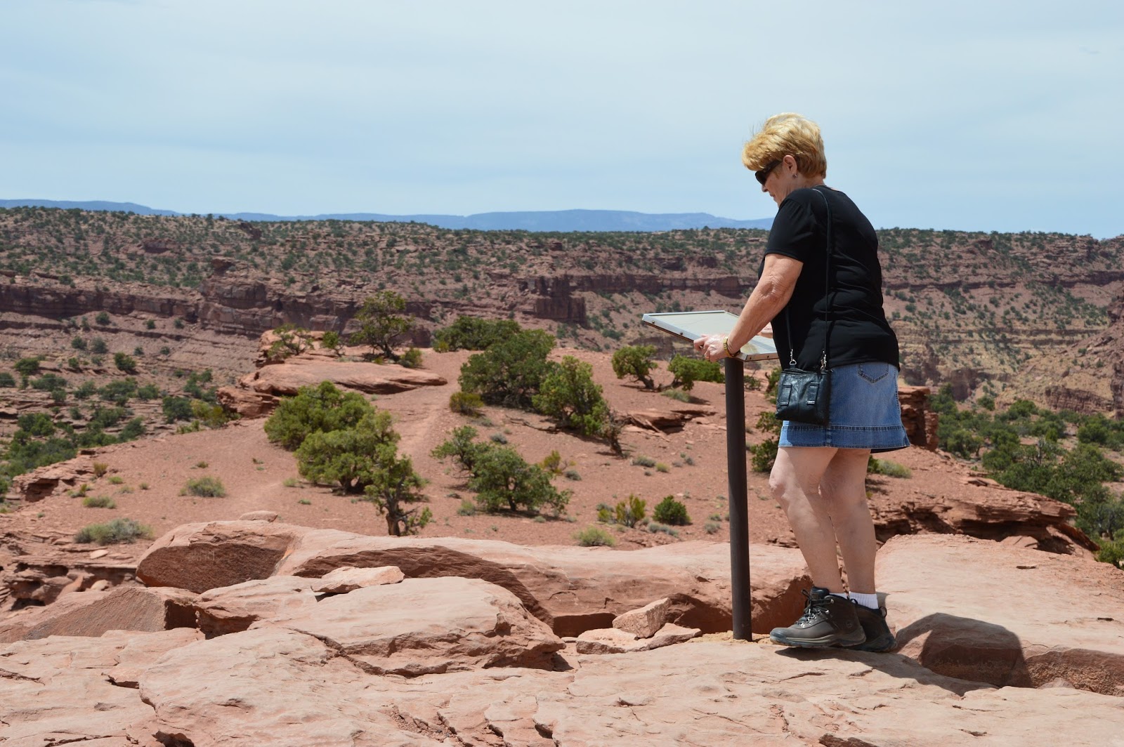


Starting on Goosnecks Point Trail

Not one of the easy trails

This is going to be a really great view

Still Hiking to the view point

Interesting tree growing in the rock

A really windy & overcast day. If the sun would be out the colors of the rocks would be brilliant.

Getting close to the view point

Sulphur Creek 800 ft below the canyon rim. The goosnecks are the shape of Sulphur Creek down below.

When Sulphur Creek was young this view was a low plain. The stream flowed gently across the plains changing directions with each flood. The Waterpocket Fold than began it's upward warp. Trapped in it's channel unable to detour, the water ran steeper, cutting it's way through the soft rock. Where loops almost meet, "Goosnecks" form the stream's last course, cut in stone 800 ft below.


Looking at the "Goosnecks" down below.


The trail back down.


The gray stone layer just above the trees on the front right is the same layer as the gray stone layer on top of the ridge in the back center of the photo.


This formation is named "The Castle"


This next group of pictures is of Barb & I hiking in a dry wash bed.


Colorful van in the Park Campground, not where we are staying.


Another dry wash bed.


Old Uranium Mines


"Capitol Gorge"

Scenic Road Through this Section

No comments:
Post a Comment