Hi Everyone:
After four days of traveling from the Mount Vernon Washington area, we arrived at our present RV Park near Brice Canyon National Park in South East Utah. We will be in this location visiting Brice Canyon & Zion National Parks.
This post is from our visit to Mount St. Helens Washington on June 1st. This is a beautiful area even with the devastation suffered from the 1980 lateral blast from the eruption. The natural renewal processes of this devastated area has slowly progressed as life continues to return.
Lou & Barb
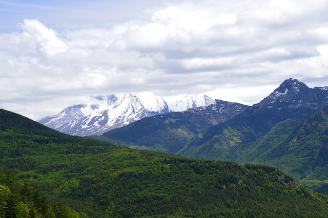
Cloud Obscured Peak of Mount St. Helens & North Fork of the Toutle River
A Lateral Eruption Blast Filled the North Fork of the Toutle River Valley with 600 ft of Ash, Trees Rocks & Debris.
Closer View of Blasted Away North Side
Tree Line is 20 Miles From The Crater. All Trees Were Leveled Between Crater & Edge of Trees
Mount St. Helens & North Fork of Toutle River
River Slowly Cutting Channel Through Debris and Foliage Gradually Returning
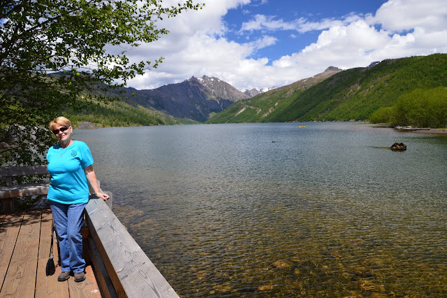
Coldwater Lake, One of About 120 new Lakes, Ponds & Wetlands Formed After Changes in the Landscape Caused by Eruption.
Map & Facts of Mount St. Helens Area
Crater & Lava Dome, Lava Dome was Formed between 1980 & 1986
Trees Blasted Down by Shock Wave of Eruption
Our View From Johnston Ridge, Five Miles From Center of Crater
By 2010 Rain, Snow melt & Mud Flows Carved a Channel 210 ft deep into the Debris
The Lava Dome That Has Formed Between 1980 - 1986, By 1910 a New Glacier Had Formed Around the Lava Dome Base
Devastated Area Extends About 20 Miles to Edge of Old Growth Forest
Spirit Lake in Distance, Blast & Debris Forced Water up to Top of Mountain Behind Spirit Lake.
Life Slowly Returning to Devastated Area
Humming Bird on Deck of Restaurant Barb & I Dined at That Day
Uncommon Moment of Humming Bird Perched in Tree
Patty's Place, Our Dinning Location For That Evening


No comments:
Post a Comment