Hi Everyone:
This post is from Sunday June 16 th. This was our first day in Bryce Canyon. Upon entering the Park we drove to the furthest end of the park. The plan was to visit the most distant area first & work our way toward the park entrance. This was a great plan since all of the look out points & hiking trails are accessed from the right side of the road way heading back toward the Park entrance.
The first view point we visited was Rainbow Point. At an elevation of 9,115 ft it has a beautiful view that stretches on for miles. This park is known for it's rock formations called Hoodoos. The Hoodoos are a pinnacle type rock formation that starts out as a fins of rock separated by narrow canyons called slot canyons. As the fins erodes from water & wind they gradually develops openings in them called windows or arches. Through further erosion the top of the window collapses and eventually forms the pinnacle called Hoodoos. This process takes tens of thousands to millions of years to complete.
Lou & Barb

This First Group of Pictures is From Rainbow Point. Elevation 9,115 ft. Notice the Pinnacles Called Hoodoos.


This Group of Pictures is From the Bristlecone Trail. This Trail Travels Along the Rim of the Canyon & Through the Bristlecone Pine Forest. The Bristlecone Pine Tree Lives for Hundreds of Years. Looking at Their Small Size, it's Hard to Imagine They are That Old.


Portion of the Trail


This Dead Tree is a Bristlecone Pine That was Over 1,000 Years Old When it Died.


What A View


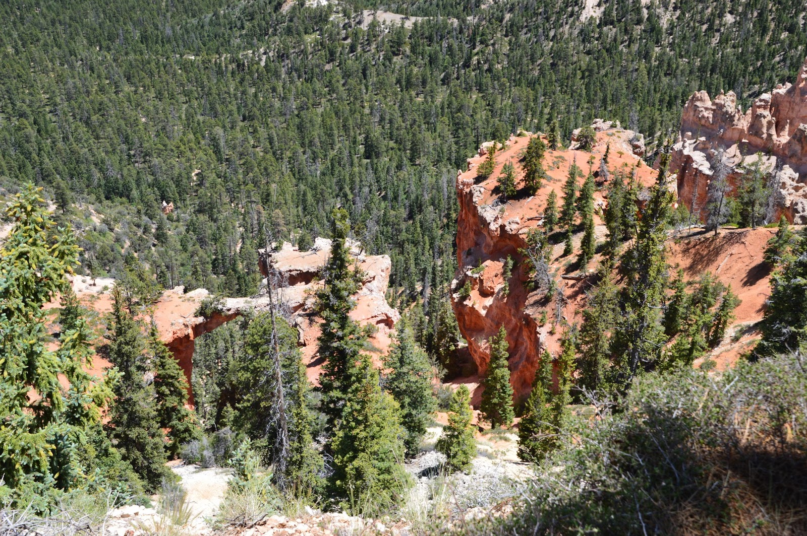
This is the Beginning of the Formation of a Window in This Fin Formation


These Pictures are From "Black Birch Canyon". Elevation 8,750 ft.

Notice A Window in This Formation. The Stone Layer Above the Layer the Window is in is Much Harder & Takes Longer to Erode.


A Small Window in This Formation


This is The View From Ponderosa Point, Elevation 8,904 ft.

This Group of Pictures are From our Hike on Agua Canyon Trail. This Trail Travels Along the Rim of the Canyon to Agua Canyon.


Agua Canyon, Elevation 8,800 ft.


This Formation to the Left of Center is "Thor's Hammer"


"Natural Bridge" Formation


Typical Warning Sign Along Rim Trails


View From "Farview Point" Elevation 8,819 ft.


No comments:
Post a Comment